
This post is written by JULIE. You can read more about this trip and here fabolous blog Earth Trekker here.
There are two ways to get a spectacular view over the town of Svolvaer…hike to the top of Svolvaer Fløya or climb Svolvaergeita. We did both on the same afternoon, making this one of our most memorable days in the Lofoten Islands.
Svolvaer is one of the largest towns in the Lofoten Islands. Fløya is the mountain that forms the backdrop of the town. From the top of Fløya, you can look over not only the town of Svolvaer, but over nearby mountain peaks and islands off in the distance.
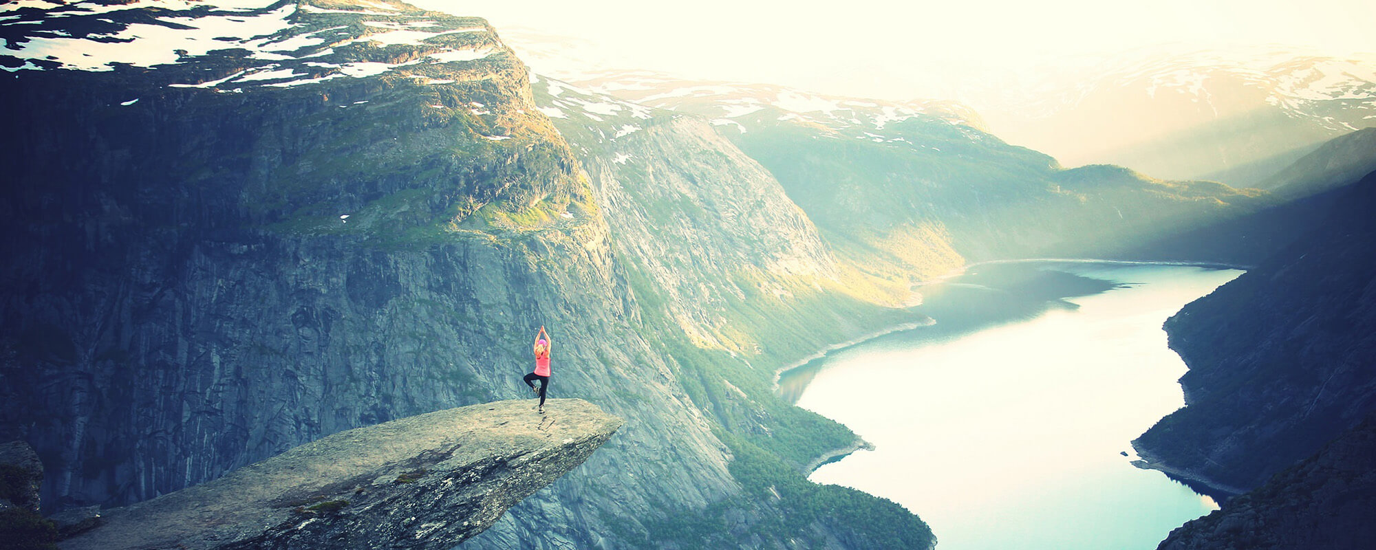
Svolvaergeita, also called The Goat, is a pinnacle of rock that is very popular with rock climbers. It’s located on the slope of Fløya and it’s from the top of this rock that you get one of the most unique views over Svolvaer.

Read all about our experience in the Complete Guide to Climbing Svolvaergeita.
We combined the climb up Svolvaergeita with the hike up Fløya. This made for a very long day, but it was worth it. However, we were not able to get to all of the viewpoints on the hike, but I will provide a link to give you all of the details so you can have the full “ Fløya experience.”
We did not even start the hike to Svolvaer Fløya and Svolvaergeita until 4 pm, which was our climbing time with Northern Alpine Guides. Good thing it never gets dark in Svolvaer during the summer months!! Our hike up to Fløya started at the very late time of 7:30 pm. For us, it was a race up the mountain and then back down, so we could get into Svolvaer by 10:30 pm to get some dinner in our bellies.
Facts About the Hike
Distance: 4.5 km (2.8 miles)
Difficulty: Moderate
Elevation: 580 meters (1900 feet)
Length of Time: 3 to 4 hours
Getting to the Trailhead
The trailhead is located next to the Svolvaer cemetery. Nice way to start a hike, don’t you think?
We found parking on Blåtindveien, just a few steps from the trailhead. The GPS coordinates for the trailhead are 68°14’40” N 14°34’41” E.

Hiking Fløya
The first part of the trail is the most difficult, in my opinion. This section is steep and you need to be prepared to use your hands to rock scramble up the steeper sections. There is one 10 meter section of smooth granite rock where you can pull yourself up with a chain. This first section takes about 45 minutes, quicker if you are a fast hiker.

At the top of this first section, the trail forks. To the right is the trail that takes you to the base of Svolvaergeita. Go to the left to continue hiking up Fløya.
At this point, the trail gets less steep. It doesn’t exactly level out, but at least for a little bit it’s a shallow, easy incline. However, it can be very muddy here, especially if it has recently rained. At this point, it looks as if you are hiking away from the peak, and you are, just for a little bit.


Looking up at the final climb to the summit.
Finally, the trail turns toward the peak and you have one final climb to the summit.


Once on the ridge, you can turn left to officially summit Fløya. We did not do this since it was now 9 pm and we were exhausted from also climbing Svolvaergeita.
Turn right to walk out to the viewpoint over Svolvaer. Be careful here…the trail is narrow with a long drop-off on the left side of the trail.

Walking along the ridge. The Floya peak is in the background and Tim, Tyler, and Kara are walking to the Svolvaer viewpoint.


This is a panorama of the Floya viewpoint over Svolvaer, taken with Tim’s iPhone.


The view over Svolvaer is magnificent! Enjoy the view over the city. Below you, you can see the rocky pinnacle of Svolvaergeita.


Another panorama that Tim took with his iPhone.
The Devil’s Door (Djevelporten)
This post would not be complete without including the Devil’s Door (Djevelporten). This is a chunk of rock, wedged between two cliffs, almost like a mini Kjeragbolten. Sadly, we missed this. We just never came across it on our hike up the mountain. And since it was so late in the day, we had zero interest in searching for this rock.
It sounds like it can be difficult to find Djevelporten. I have read the posts of other hikers who also missed it. But in this post, you can take a look at the hiking map and the location of Djevelporten.
To get back into Svolvaer, retrace your steps down the mountain. It’s much faster going back down!
Post-Hike Restaurant Recommendation
Now that you burned all of those calories to get to the top of Fløya, how about a great meal? Fellini Pizza makes awesome pizza and pasta. Plus, they are open until 10:30 pm, perfect if you finish your hike late in the evening (we got here right at 10:28…just in time to pick up our pizzas that Tim called in as we hiked back down the trail).
Where We Stayed
We stayed at Nyvågar Rorbuhotel in Kabelvåg, a 15 minute drive south of Svolvaer. A rorbuer is a classic fisherman’s cottage that has been converted into a hotel room, that usually comes equipped with a kitchen, living room, and private bedroom. We had a two bedroom cabin with the bedrooms on the second floor and the kitchen and living area on the lower floor. While visiting the Lofoten Islands, it’s worth staying in a rorbuer at least one time. Nyvågar Rorbuhotel also has an onsite restaurant and breakfast was included during our stay.